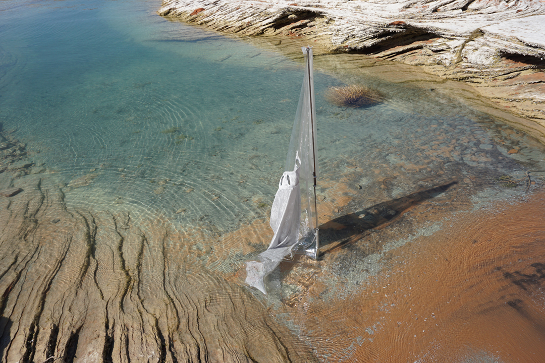
Flag #36°56'42.3"N 111°29'04.9"W | September 2018, Page, Arizona (USA)
Flag #38°39'10.1"N 77°13'43.6"W | September 2018, Wordbridge, Virginia (USA)
The body of water at the mouth of the Occoquan River.
Flag #36°33'48.8"N 118°16'54.8"W | August 2018, Lone Pine, California (USA)
The most important manifestation of high mountains is the type of decomposition of the surface-material. In the temperate to warm summer months, water can enter fractures of rocks, which freezes in winter. The Sierra Nevada was once overburden glaciers.
Flag #32°49'56.6"N 106°17'33.7"W | August 2018, White Sands, New Mexico (USA)
It lays at the bottom of a shallow sea that covered the region 250 million years ago. It became a gigantic dome some 70 million years ago. About ten million years ago, the center of this dome began to collapse and formed a basin. Through the uplift of the mountains it was released by snow and rain from the rocks. It then came in streams and flowed into a lake. Water in the lake does not have any means of escaping except by evaporation, so thin layers of crystals collect it on the surface. Weathering reduces the crystals to fine, sandy grains and winds carry the grains farther up the basin. The grains pile in steep dunes that often reach as high as 50 ft. The winds carve more dunes and carry small amounts of it by distances of up to 30 ft a year.
Flag #33°20'39.3"N 106°06'00.3"W | August 2018, Three Rivers, New Mexico (USA)
Flag #37°14'11.6"N 112°44'51.8"W | August 2018 Oderville, Utah (USA)
Often it marks the affiliation or representation of communities and corporations. -
Flag #35°57'07.0"N 116°43'49.9"W | August 2018, Ashford Junction, California (USA)
A flag is an abstract two-dimensional arrangement of colors, surfaces and characters in a mostly rectangular shape. It serves to visually transmit information, initially over a greater distance, such as from ship to ship.
Flag #34°23'07.5N 116°15'52.2W | August 2018, Joshua Tree, California (USA)